

![youtube - [Video]](/web/image/product.image/7/image_128/youtube%20-%20%5BVideo%5D?unique=0c1e265)
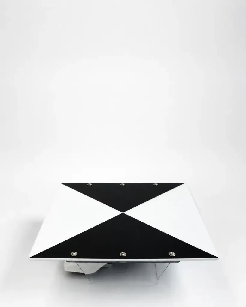
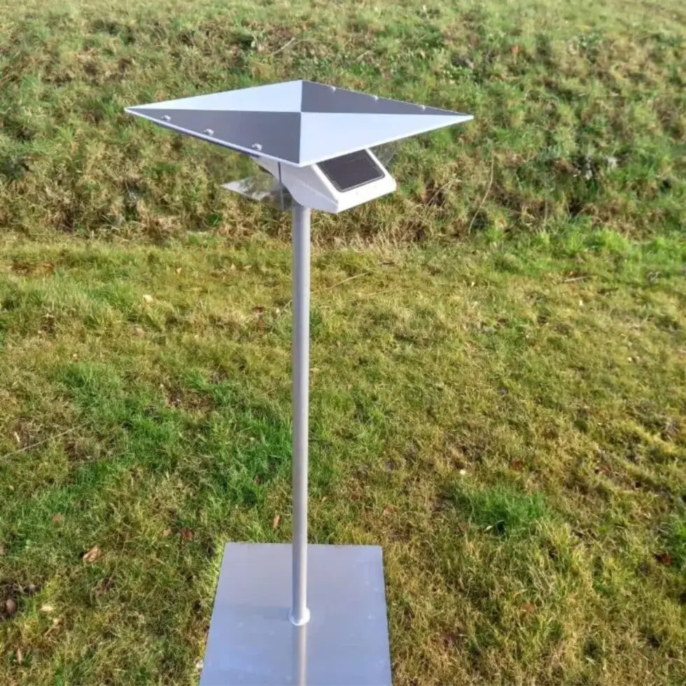
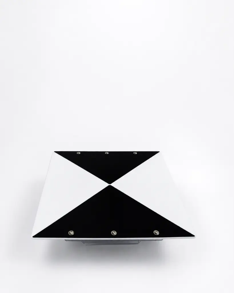
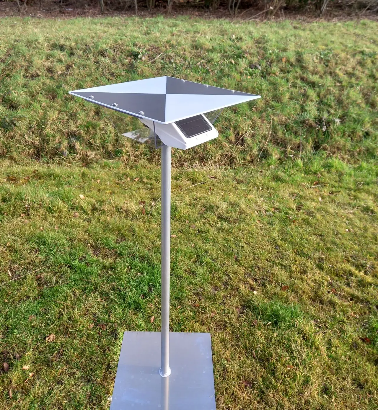
AC-112 Ground Control Point
Optimize drone measurements with Ground Control Points and the Locator One GNSS receiver.
Core Features
Dimensions
50 x 50 cm (square)
Applications
Drone mapping, construction monitoring, agricultural surveys, topographic mapping, and more.
Weight
2,5 kg
Why use Ground Control Points
Ground Control Points (GCP) are fixed reference markers with precisely known coordinates. They calibrate drone imagery, correct deviations caused by atmospheric conditions, and reduce sensor errors, resulting in highly accurate maps and 3D models.
Together, Basetime’s GCPs and the Locator One GNSS receiver make drone measurements faster, more reliable, and more cost-effective, empowering professionals to make informed decisions based on accurate geospatial data.
Subcentimeter accuracy
Perfect for construction, agriculture, and infrastructure monitoring
The power of the Locator One
The Locator One is an autonomous GNSS receiver that provides real-time and post-processed positioning data with exceptional precision. When used with GCPs, it offers:
Efficient Data Processing
Fewer post-processing corrections, saving time and costs
Easy Deployment
Quickly set up in the field; automatically collects data without complicated configurations